
 The Planning and Policy Team primarily aims to con-tribute to the Urban Zoo project by tackling the following questions: Are there links be-tween social-environmental and spatial conditions and the micro-bial diversity that people are exposed to in urban and peri-urban areas? What is the planning, economic development and institu-tional context in which zoonotic diseases develop in Nairobi? How is this shaped by social and spatial fragmentation?
The Team contributes to the development of methods for gather-ing and processing primary and secondary data on spatial and social trends across selected localities and income groups in Nai-robi, to map relevant urban development and environmental trends, and outline the chang-ing institutional landscape in the city as pertains to the policy and planning dimensions of the research.
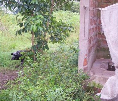
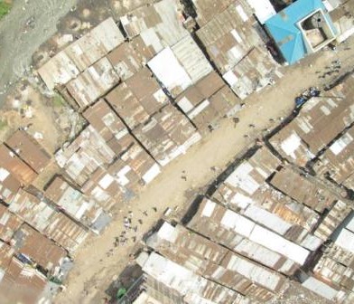
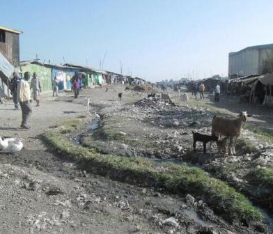
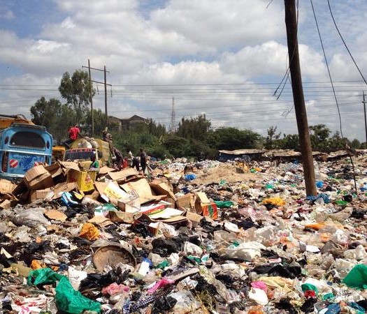
With these aims and objectives in mind, Dr. Sohel Ahmed recently tested some participatory community mapping tools in a dense informal settlement in Nairobi (Mathare Valley) in co-operation with the Muungano wa Wanavijiji, a federation of Kenyan slum-dwellers' associa-tions, with support from the local NGO Muungano Support Trust (MuST). They mapped the location of street vendors’ activities in relation to infrastructure (for example, footpaths and roads; public and private toilets) and environmental hazards (for example, areas subject to flooding, open sewage, solid waste dumpsites, places where animals roam). This data was collected using participatory community-led mapping techniques where Focus group discus-sions (FGDs) were coupled with cognitive mapping, and other mapping tools were also used along transect walks (e.g. balloon mapping and participant observation using paper maps and mobile phone apps). Details of the methodology can be found in a recently published IIED policy briefing paper at http://pubs.iied.org/17218IIED.html.
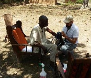
These methods, along with other innovative base-mapping techniques like OpenStreetMap-ping platform, will soon be used in the two informal settlements selected for this project, Viwandani and Korogocho, where the case-control studies are being conducted by the Public Health and Demography Team led by Dr. Catherine Kyobutungi, of APHRC and Prof. Eric Fèvre , University of Liverpool, in conjunction with the University of Nairobi, KEMRI and the University of Edinburgh. The Planning and Policy Team is also actively devising, collecting and preparing data and information to feed into the selection process of the sample of 99 house-holds based on socio-economic status, neighbourhood characteristics and data such as ac-cess to infrastructure (e.g. water and sanitation) in different localities within Nairobi. Data will continue to be collected at the level of the community around these sites as well. The team is also working collaboratively with other teams in the project, for instance by helping to map value chain data collected through colleagues in the Economic Thread.
The Team comprises Professor Julio D. Dávila, Dr Adriana Allen and Dr Sohel Ahmed from the Development Planning Unit(DPU), UCL, Professor Muki Haklay, from the Department of Civil, Environment & Geomatic Engineering, UCL, and Dr Cecilia Tacoli, from the Human Settlements Group, International Institute for Environment and Development (IIED), UK.
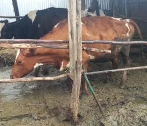
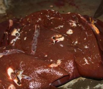
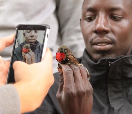
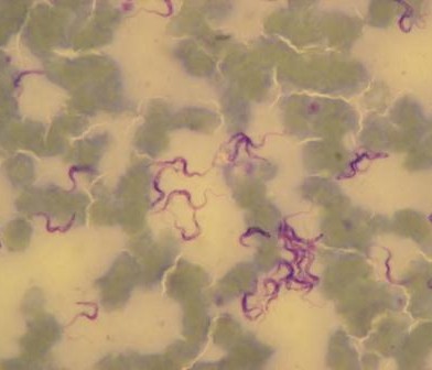
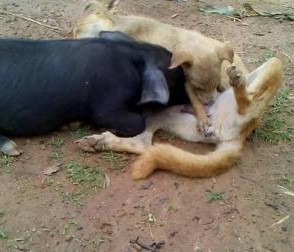
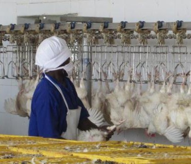
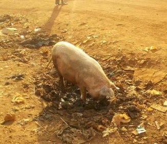
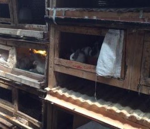
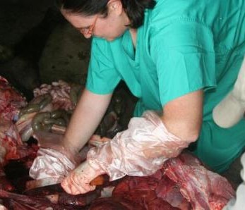
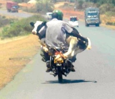
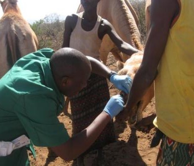
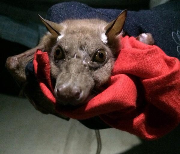
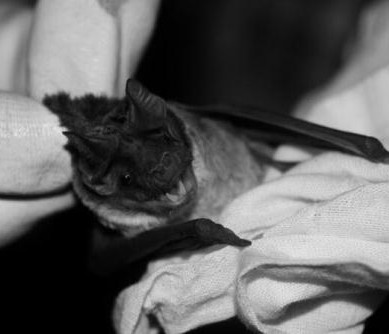
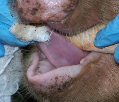
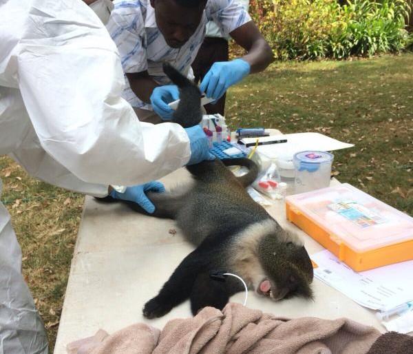
The Zoonotic and Emerging Disease group studies a range of epidemiological issues revolving around the domestic livestock, wildlife and human interface


You must be logged in to post a comment.